
Geospatial Data Mapping Services
Diverse mapping techniques, professional data services
Service Items
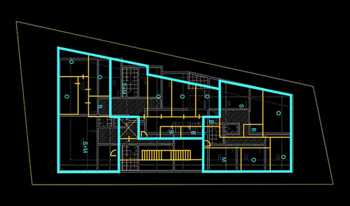
GIS map surveying and mapping
- Indoor floorplan space adjustment and mapping
- UAV aerial services and post-processing of data
- CAD/GIS data digitization processing services
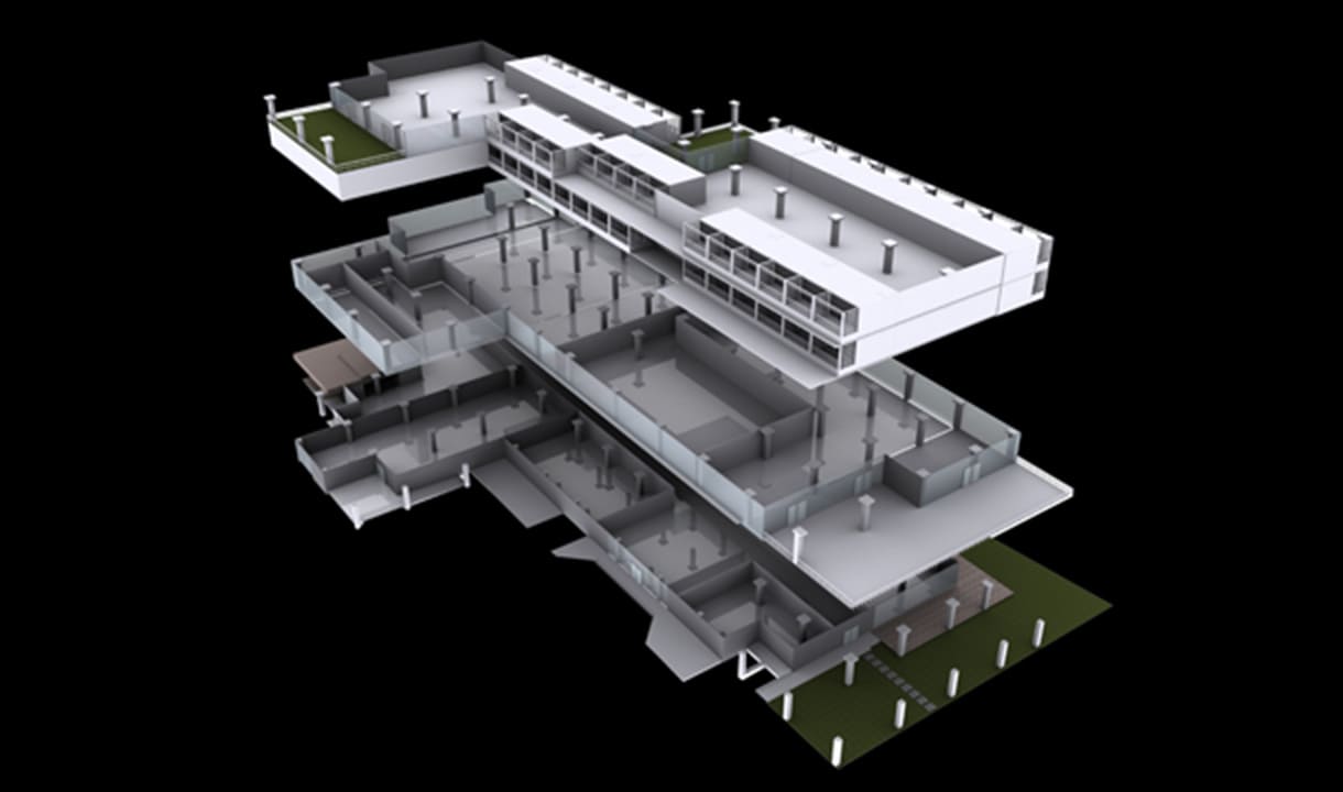
3D environmental modeling
- Matterport panoramic scanning
- Indoor/outdoor LiDAR scanning and modeling services
- Aerial image stitching and modeling for buildings
- BIM for building data modeling
Application Areas

Exhibition unit

Healthcare
